Profile
Slí Thoraí
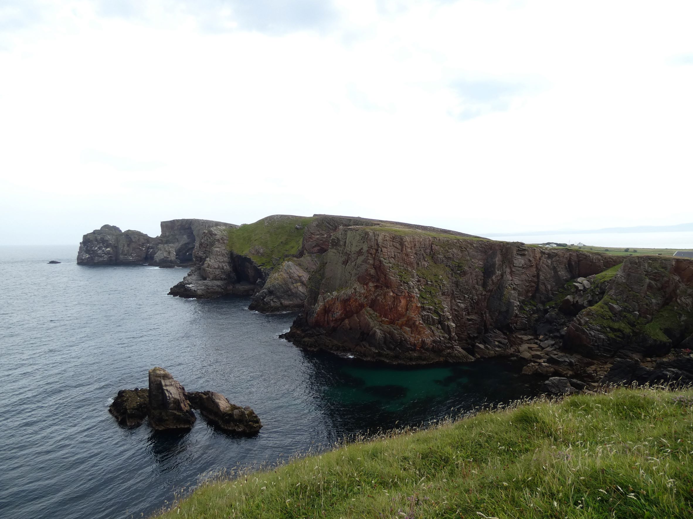
Slí Thoraí (The Tory Island Way) is approx 9 km long and covers the whole of Tory Island. The walk starts from the pier in West Town and follows a looped waymarked route to the west of the island out to the Lighthouse and returns to the town via the artist’s hut and cliffs of the northern coast of the island where you may see seals swimming near the cliffs.
The second part of the walk heads east out of the town passed an old torpedo to Port an Duin and onto Dun Bhaloir (Balor’s Fort) the remains of an iron age fort and with views over An Eochair (The Anvil) an outstanding 400-metre long rock ridge sticking out into the Atlantic ocean. Return to the starting point in West Town via the same route as you went out.
View the island Facebook page here. You will also find plenty of activities and sights on the island and around the local area(Click on the links below for more details):-
- Tory Island Ferry
- Wild Atlantic Way Discover Point
- Bell Tower
- Dun Bhaloir & An Tor Mor Viewpoint
- Magheroarty Beach
- Magheroarty Walk
- Kitty’s Kayaks
- Narosa Life Surf School

Local Accommodation Options for Your Perfect Getaway!:
Are you looking for local holiday accommodation options on and around Tory Island?
Important disclosure: Inish View is a proud participant in the Booking.com Affiliate Program. This means if you choose to make a booking through the provided link below be assured that you won't incur any extra charges.
However, by using this link, you are supporting us as we may receive a small commission. Your support means the world to us! Thank you for choosing Inish View and happy travels!
Local Hotels near here:-
Details
Map
Sorry, no records were found. Please adjust your search criteria and try again.
Sorry, unable to load the Maps API.
Accomodation, Food and Drink Close By
Gortahork
North Donegal
Ireland
Annagry
West Donegal
Ireland
Toraigh
North Donegal
Ireland
Other Activities Near Here
Magheroarty
North Donegal
Ireland
Magheroarty
North Donegal
Ireland
Dunfanaghy
North Donegal
Ireland
Magheroarty
North Donegal
Ireland
Towns and Villages Near Here
Gortahork
North Donegal
Toraigh
North Donegal


