Profile
South Inishowen Cycle
The South Inishowen Cycle Route is a looped cycle route that covers the southern part of Inishowen. We cover the route starting from Buncrana. though you can start anywhere along the road. It can also be reached easily from Derry by joining the route at Muff.
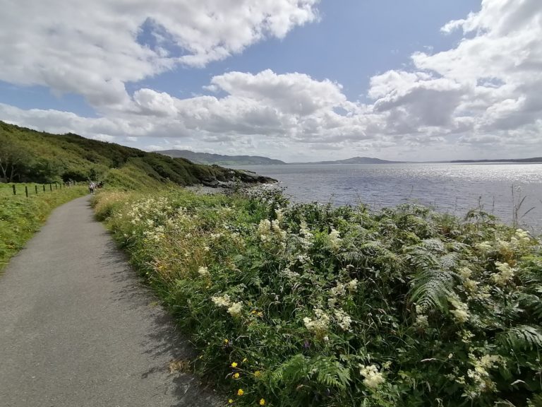
From Buncrana travel south through the village of Fahan (7km), there are great views of Lough Swilly on this part of the journey. Carry on to Burnfoot (10km) here opposite the service station turn left for the road to Muff. This road has a gentle climb then goes down into Muff (18km) where Lough Foyle comes into view.
At the junction with the main road in Muff turn left through the village. Once out of the village, the road follows the Lough Foyle coastline all the way to Quigleys Point(23km).
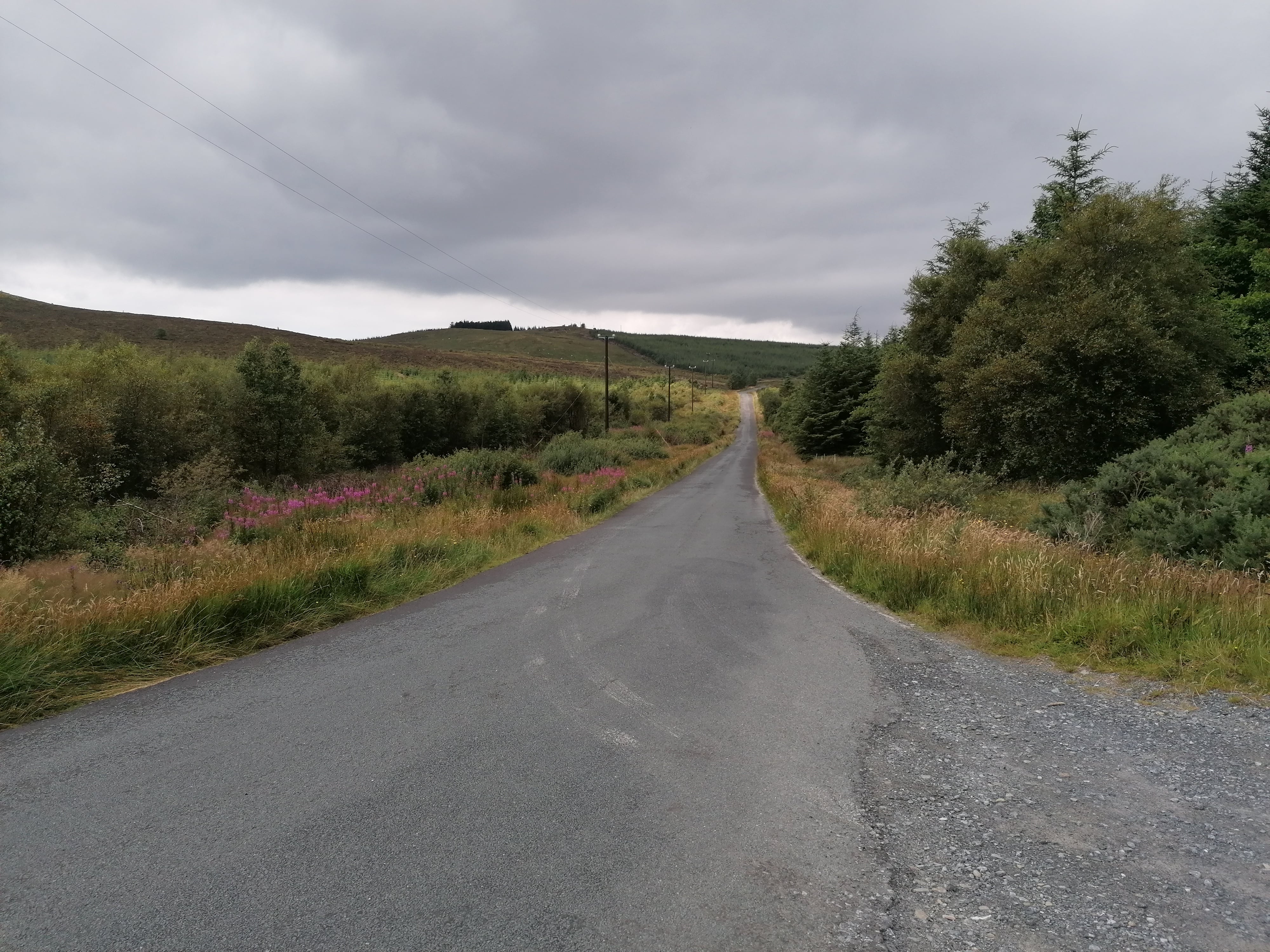
In Quigley’s Point just past The Point Inn turn left for the road to Carndonagh. This is the start of the only real climb of the route, at approx 32km you will see the road for Illes take this road. This is the most scenic part of the route as the road continues to climb up through the hills.
After reaching the top it is nearly all downhill into Buncrana. On the way down you pass The Fullerton dam with its great brown trout fishing, the Journey carries on through Illes and finishes back in Buncrana and you have now finished the South Inishowen Cycle Route.
Local Accommodation Options for Your Perfect Getaway!:
Are you looking for local holiday accommodation options in Inishowen?
Important disclosure: Inish View is a proud participant in the Booking.com Affiliate Program. This means if you choose to make a booking through the provided link below be assured that you won't incur any extra charges.
However, by using this link, you are supporting us as we may receive a small commission. Your support means the world to us! Thank you for choosing Inish View and happy travels!
Local Hotels near here:-
Details
Map
Sorry, no records were found. Please adjust your search criteria and try again.
Sorry, unable to load the Maps API.
Accomodation, Food and Drink Close By
Culdaff
inishowen
Ireland
Ballyliffin
inishowen
Ireland
Burt
inishowen
Ireland
Redcastle
inishowen
Ireland
Other Activities Near Here
Burnfoot
inishowen
Ireland
Buncrana
inishowen
Ireland
Buncrana
inishowen
Ireland
Fahan
inishowen
Ireland
Buncrana
inishowen
Ireland
Towns and Villages Near Here
Buncrana
inishowen
Burnfoot
inishowen
Fahan
inishowen
