Profile
Trussy’s Park Trail
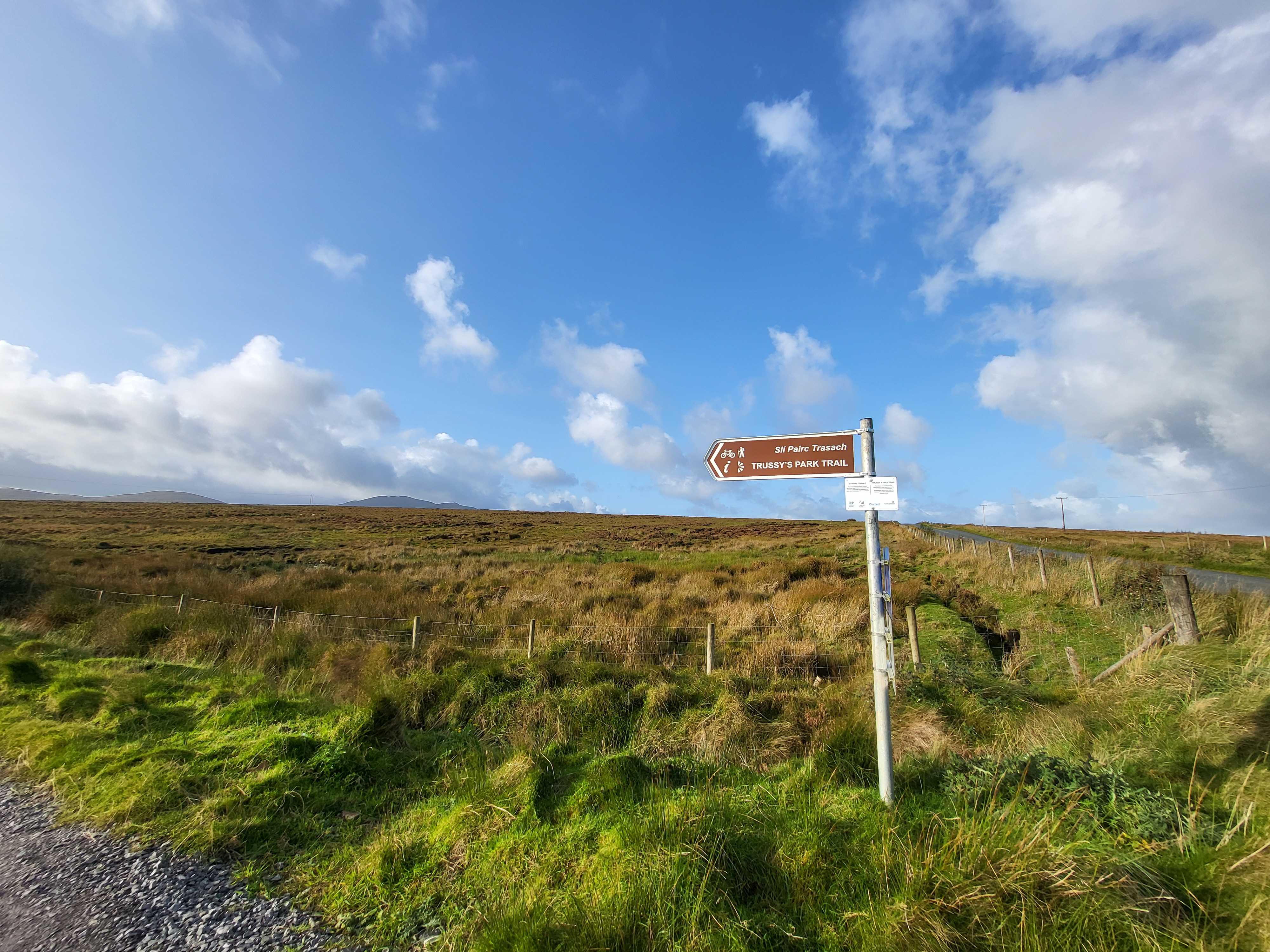
The Trussy’s Park Trail is 5.5km long, leading you from Carndonagh town along the historic bog roads to the main route connecting the town and Buncrana. Along the way, you’ll enjoy picturesque views of Slieve Snaght, the tallest mountain in Inishowen, and the surrounding boglands.
The Trail was created by the North West Community Development -NWCD. A community group that is developing an extensive network of walking and cycling trails linking towns and villages across the Inishowen peninsula. You can go to their Facebook page here.
Other hillwalking routes in Inishowen:-
Local Accommodation Options for Your Perfect Getaway!:
Are you looking for local holiday accommodation options near Trussy's Park Trail?
Important disclosure: Inish View is a proud participant in the Booking.com Affiliate Program. This means if you choose to make a booking through the provided link below be assured that you won't incur any extra charges.
However, by using this link, you are supporting us as we may receive a small commission. Your support means the world to us! Thank you for choosing Inish View and happy travels!
Local Inishowen Hotels near here:-
Map
Sorry, no records were found. Please adjust your search criteria and try again.
Sorry, unable to load the Maps API.
Accomodation, Food and Drink Close By
Ballyliffin
inishowen
Ireland
Ballyliffin
inishowen
Ireland
Clonmany
inishowen
Ireland
Other Activities Near Here
Clonmany
inishowen
Ireland
Clonmany
inishowen
Ireland
Drumfries
inishowen
Ireland
Clonmany
inishowen
Ireland
Carndonagh
inishowen
Ireland
Towns and Villages Near Here
Buncrana
inishowen
Carndonagh
inishowen


